
Vorotan River is the main river of Syunik region, left tributary of Araks. Vorotan starts from thenorthwestern slopes of Syunik Plateau- from Khalkha Lake, which is located at an altitude of 3045 m, and from the nearest springs.
The river takes some streams and flows in the southeastern direction to Sisian and Goris. On the way, Vorotan connects with the tributary of Hagar (Akhavno) and then flows into Araks. Vorotan's length is 178 km, 119 km flows through the territory of Armenia.
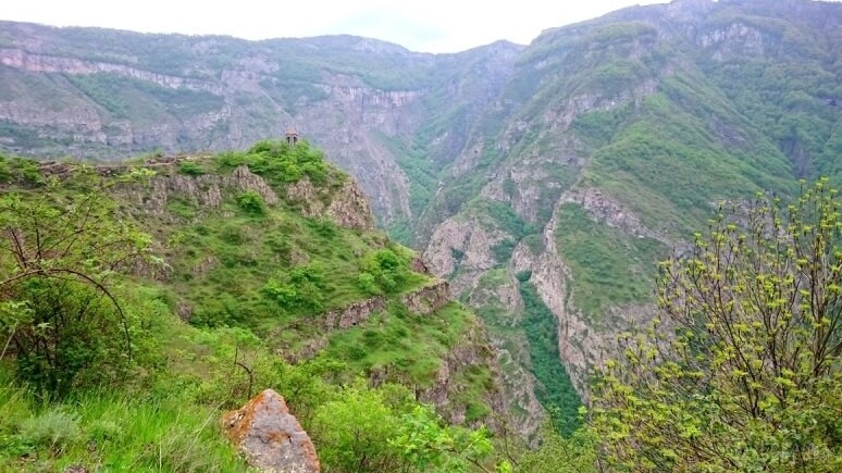
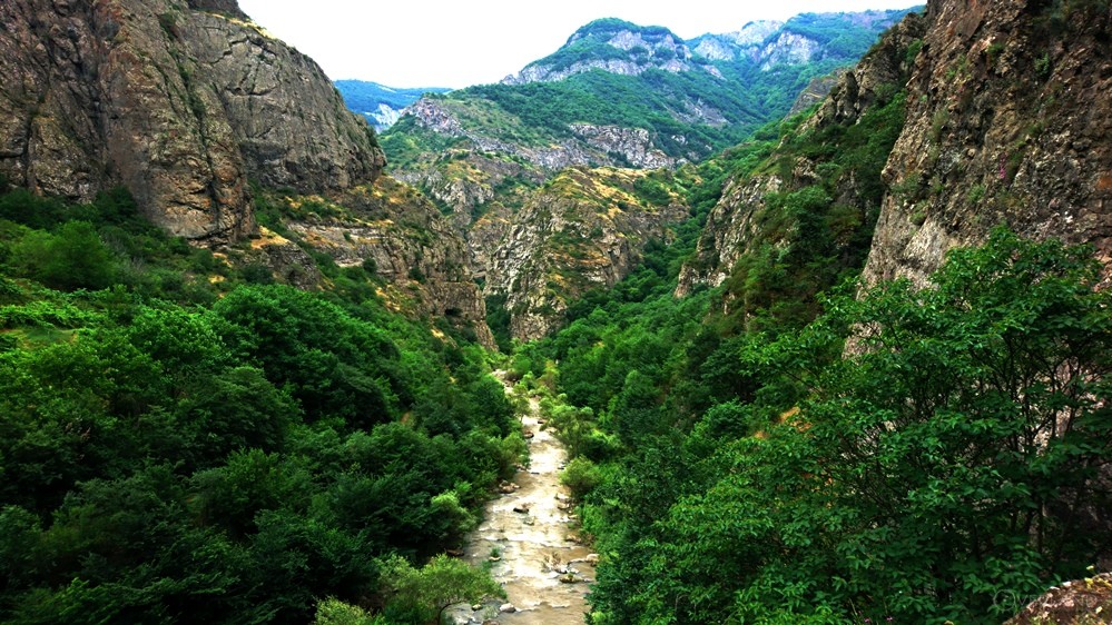
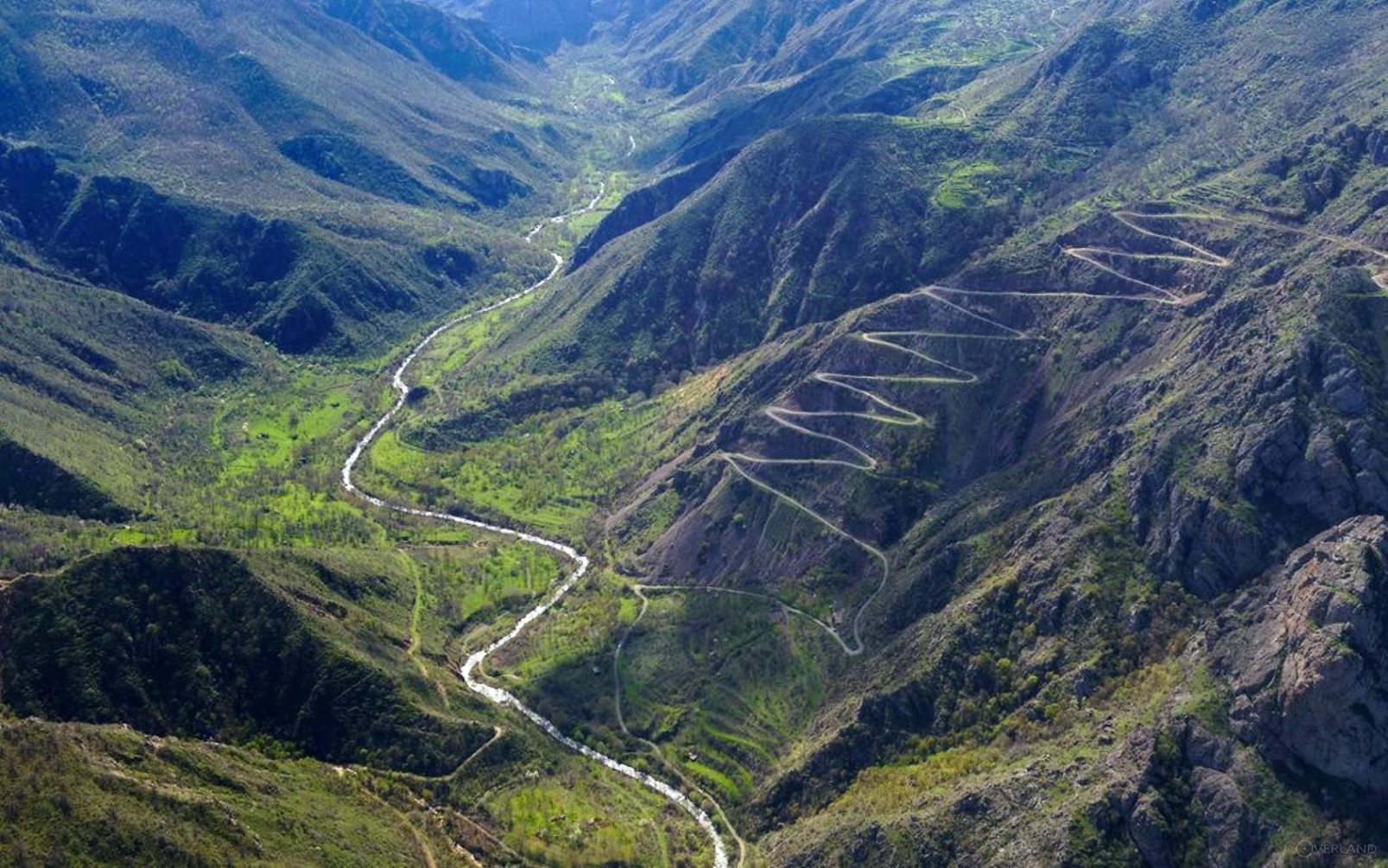
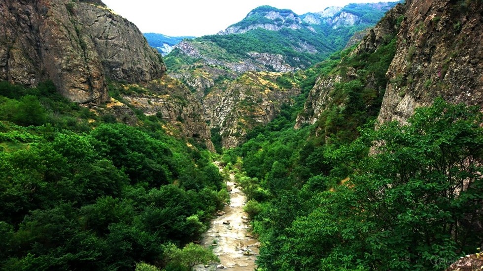
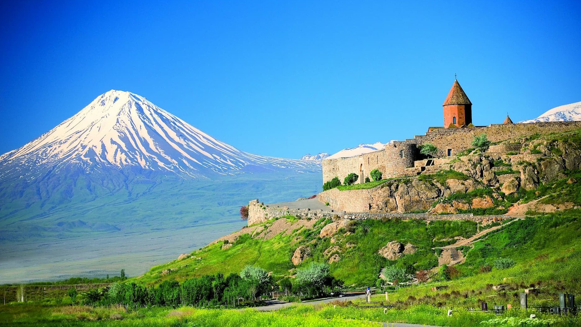
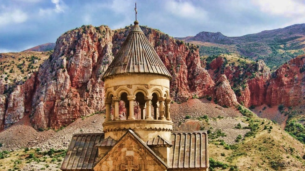
Vorotan River flows through a picturesque gorge, which is about 100 m deep and 3 km wide. The river flows along the ancient settlements of the Stone Age, the Bronze Age fortresses, along the medieval fortresses, monasteries, and villages. Running through Sisian, the river divides the city into two parts. From here- to the east of Sisian the most picturesque part of the river and gorge begins. The gorge with sharp mountain peaks, severed and standing alone rocks, amazes with wonderful colors of the opening view. In spring, the river Vorotan is attractive for rafting lovers. On his way, Vorotan meets such historical monuments as Vorotanavank, David Bek fortress, Tatev desert... Tatev Monastery looks at the swift river from a height.
On Vorotan River stands an amazing monument of nature- the Devil's Bridge. The bridge was formed over millennials- from calcium, under the influence of mineral waters, the sources of which are under the bridge. People call the upper stream of Vorotan River Bazače, and the lower stream- Bargushat.
.JPG)