


In all periods of history, especially in pre-Christian times, the mountain Aragats has always had an important meaning for Armenians. Exactly here, to the throne of God(the name is translated this way), from ancient times, people came to get answers to their deepest questions.
Aragats has a sacred meaning for Yezidis and Kurds, too. They named it Alagyaz. Here, in the summer Yezidis feed their herds.
Aragats is one of the centres of the Armenian civilization. This is evidenced by a whole set of defensive megalithic fortresses on its slopes, traces of an ancient irrigation system, many ancient settlements, as well as by petroglyphs and vishapakars- megaliths dedicated to water culture.
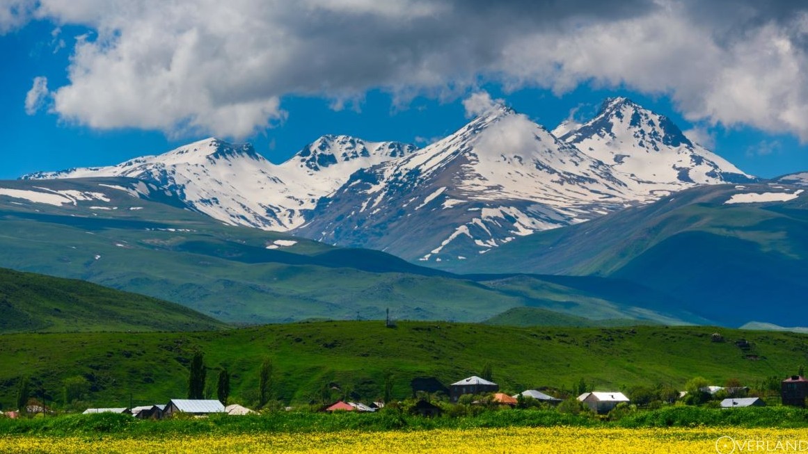
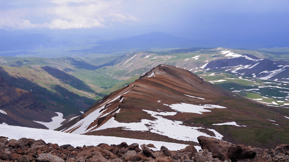
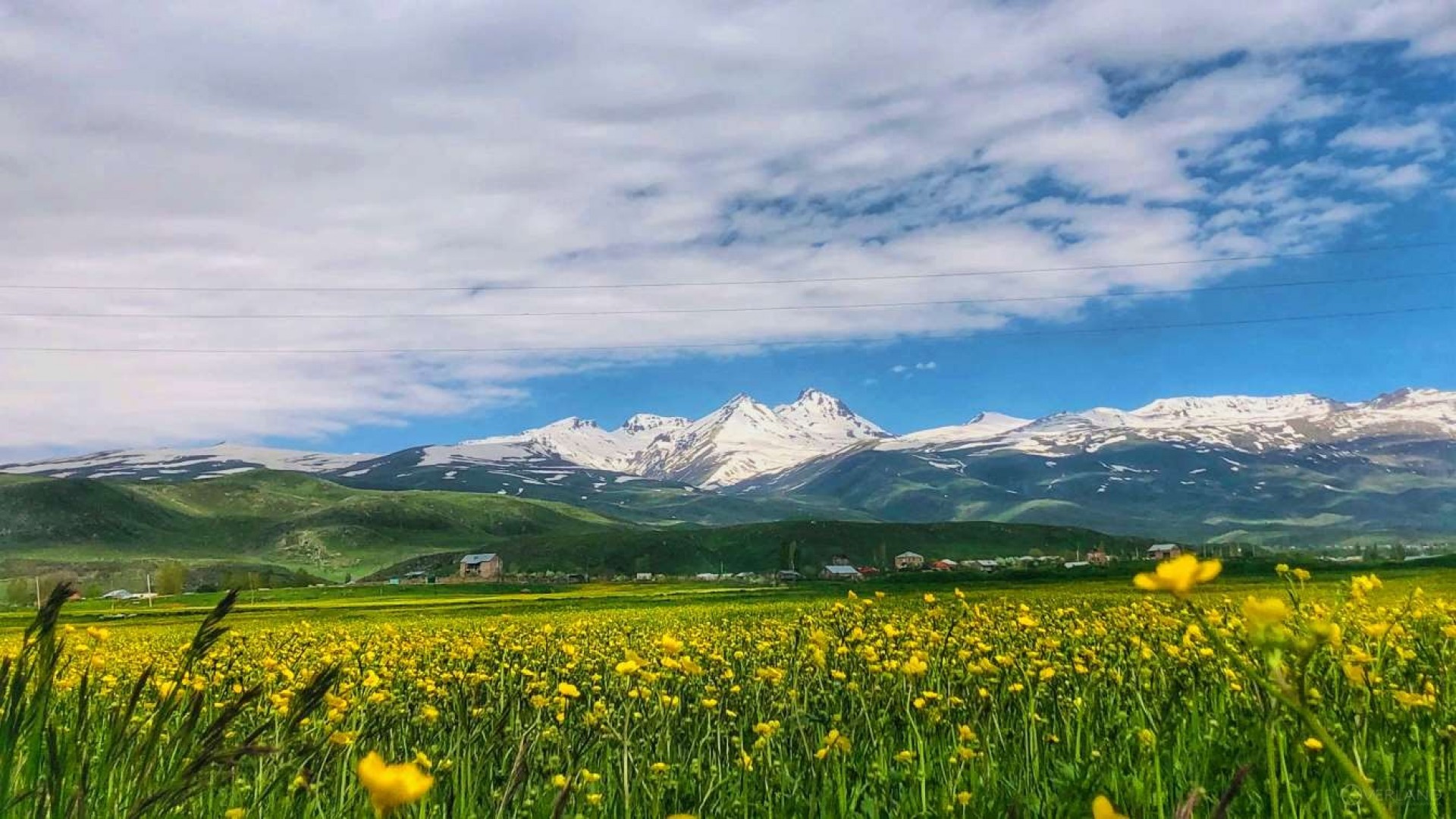
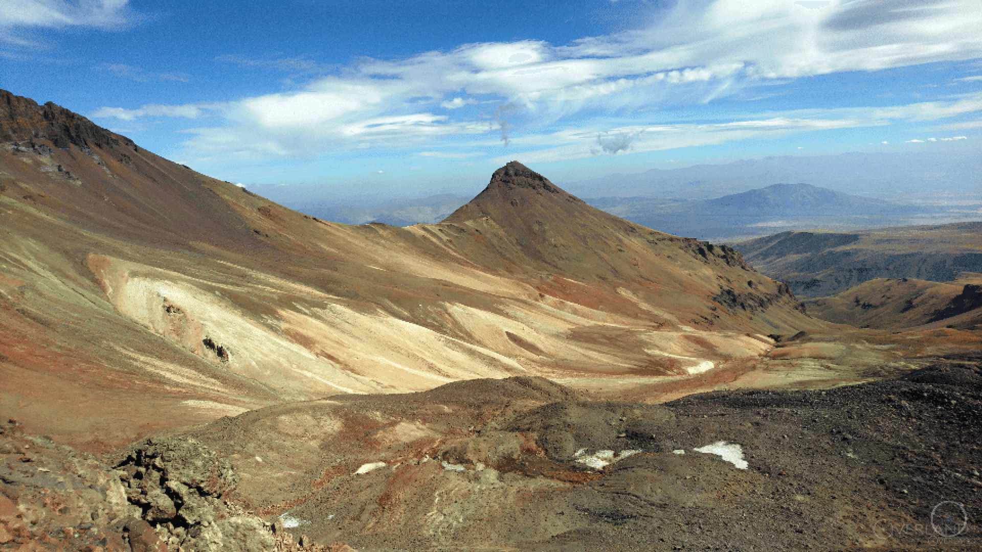
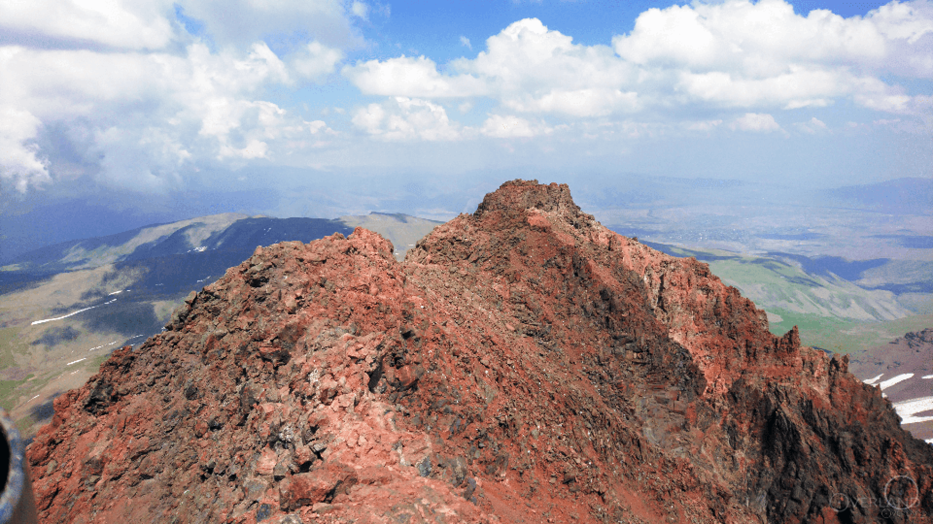
Currently, Aragats is the first highest mountain in Armenia and the fourth in the Armenian Highland. It is a volcanic mountain, one of the biggest volcanoes in the past(before the explosion, it approached the height of 8000). The mountain has 4 shark peaks and stands on the central part of Armenia, in Aragatsotn region. The height of each peak is:
the southern- 3887.8 m,
the eastern- 3908.2 m,
the western- 3995.3 m,
the northern- 4090 m.
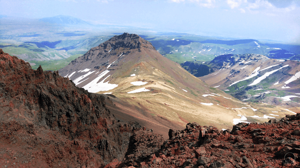
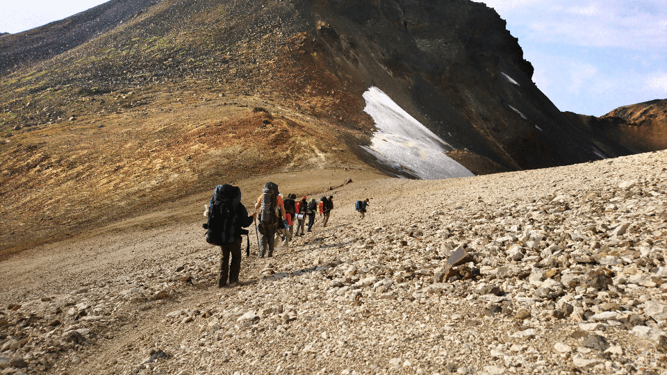
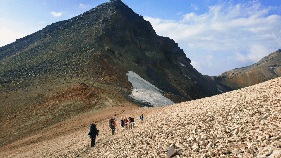
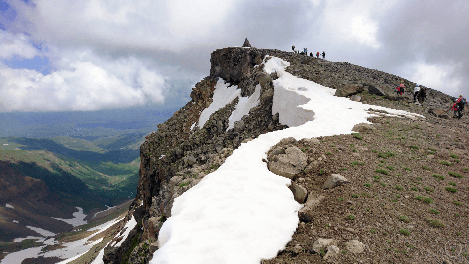
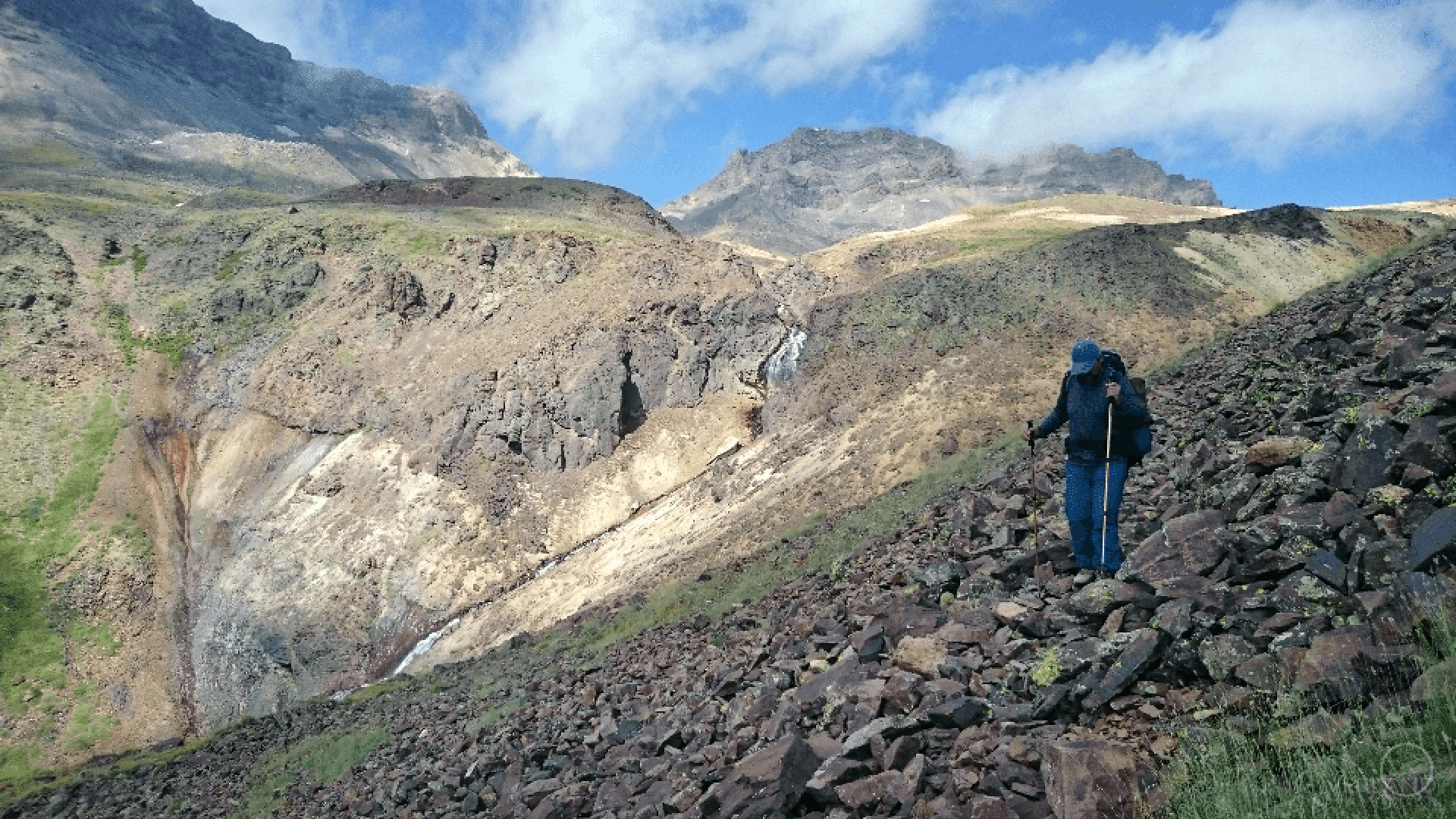
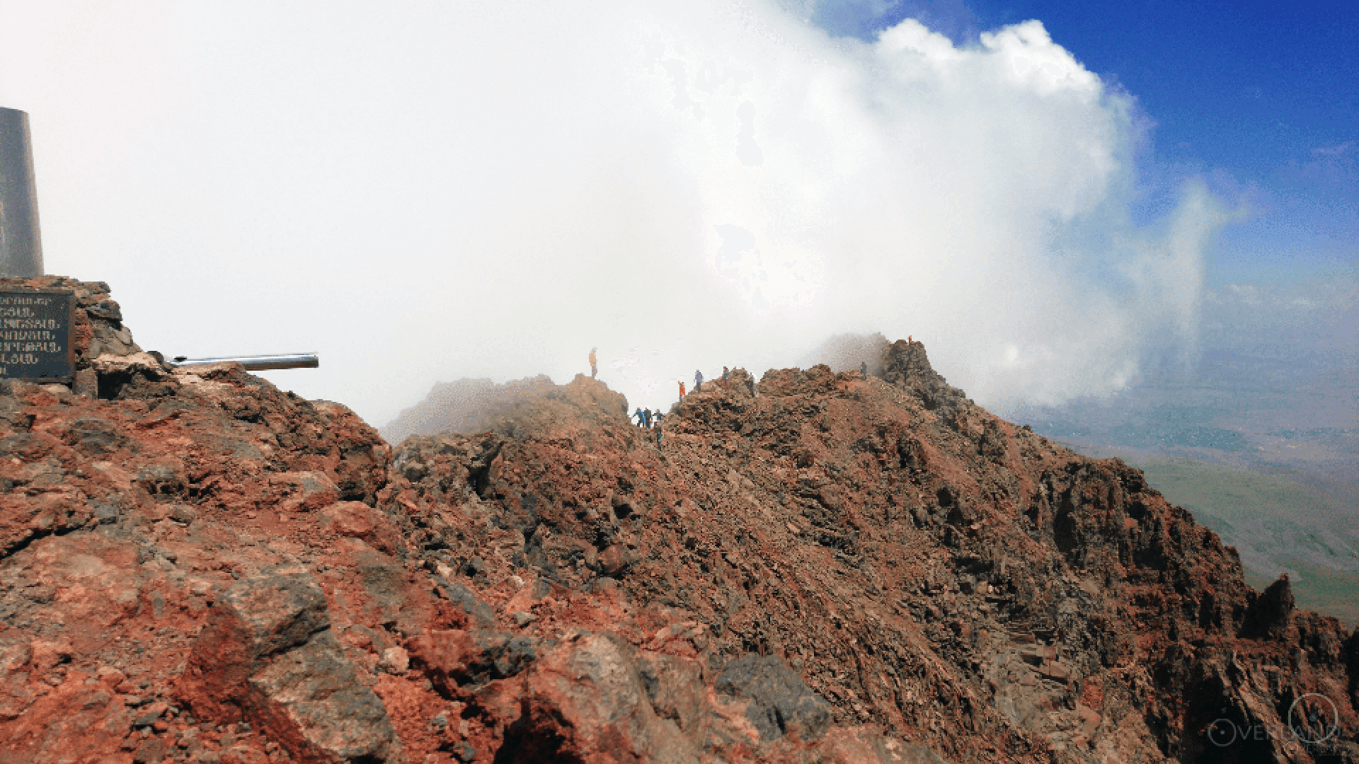
You can enjoy the views from these peaks in our tour " Climbing mount Aragats".
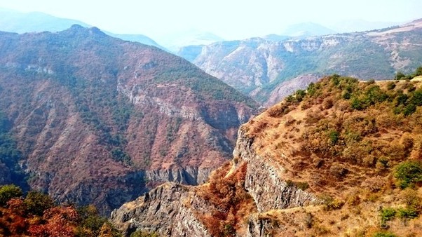
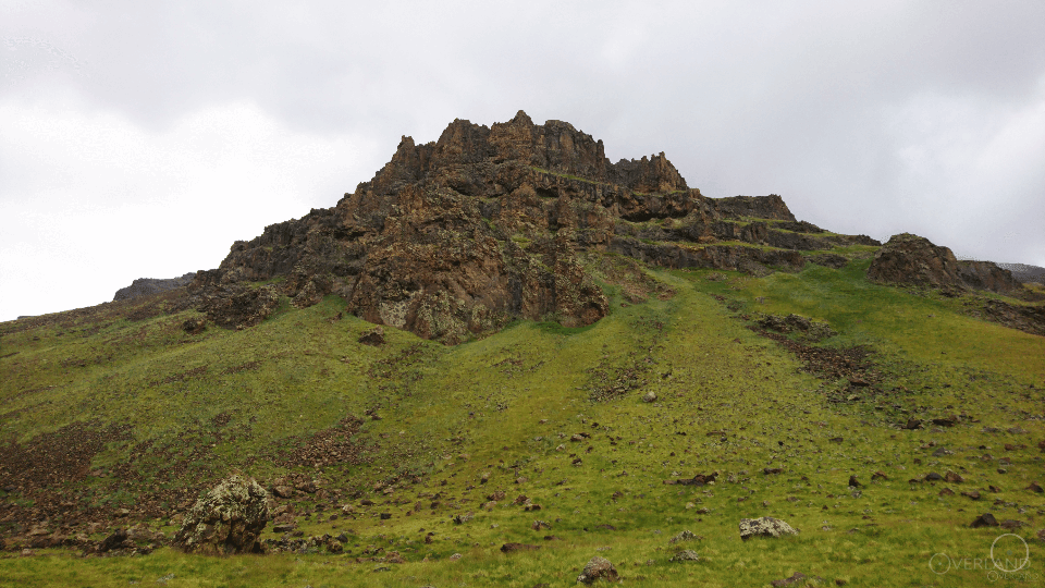
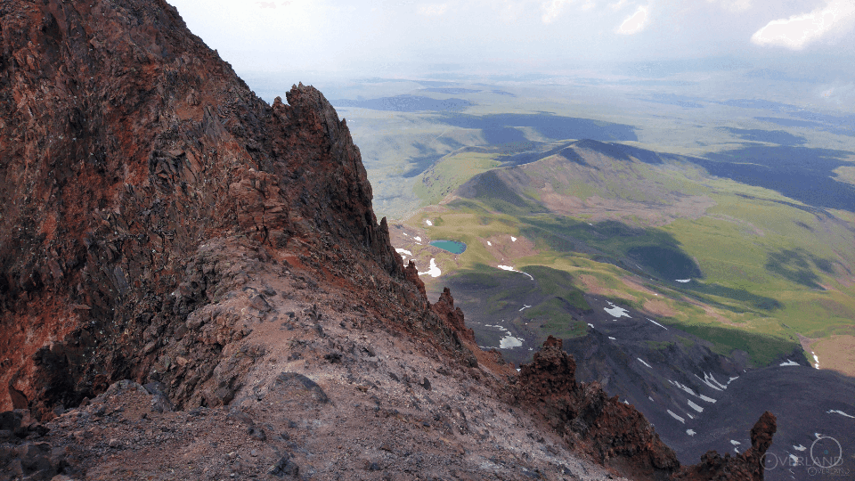
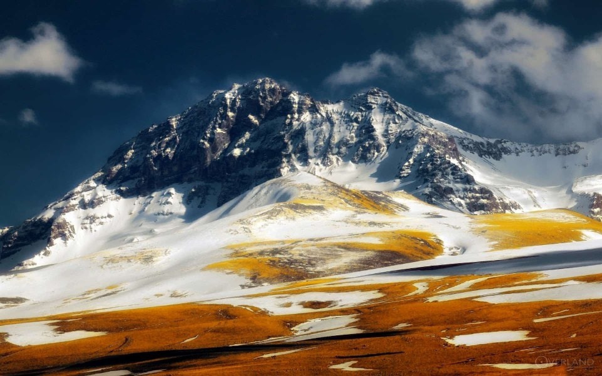
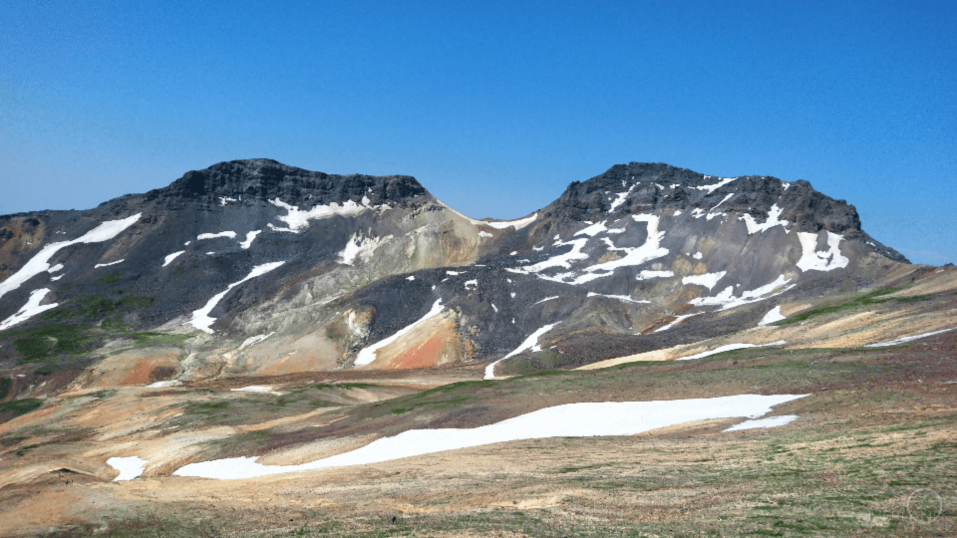
According to the legend, every evening, a star shines among these peaks- it is "Grigory the Illuminator's Lamp" , which protects Armenia from dangers". These peaks form the big crater of 350 depth. The crater's width is about 3 km. Unlike other sharp peaks, the slopes of Aragats are more moderate. The slopes stretch around the peaks in a large area (30 to 40 km)- forming in some places highlands, plateaus, and tablelands. Spread by the rays, slopes and canyons are heavily shattered. On the slopes, there are even conical hills of volcanic origin. Because of its volcanic origin, the mountain is rich in tuff, pumice, and perlite.
On Aragats, from the foothill to the top, several climatic and landscape zones are changed. Winter is harsh here, and summer is cold. On the mountain, a firm snow cover lasts 250 days a year. As the height increases, the following landscape zones replace each other: semi-desert, dry mountain-steppe, mountain meadow and subnival.
According to historians, Aragats was covered with thick forests, but now only on the southern slope, at an altitude of 1800-2300 m, there is a small forest, mainly consisting of oaks.
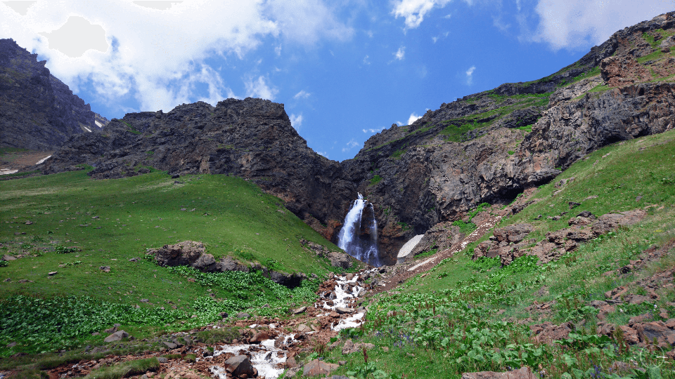
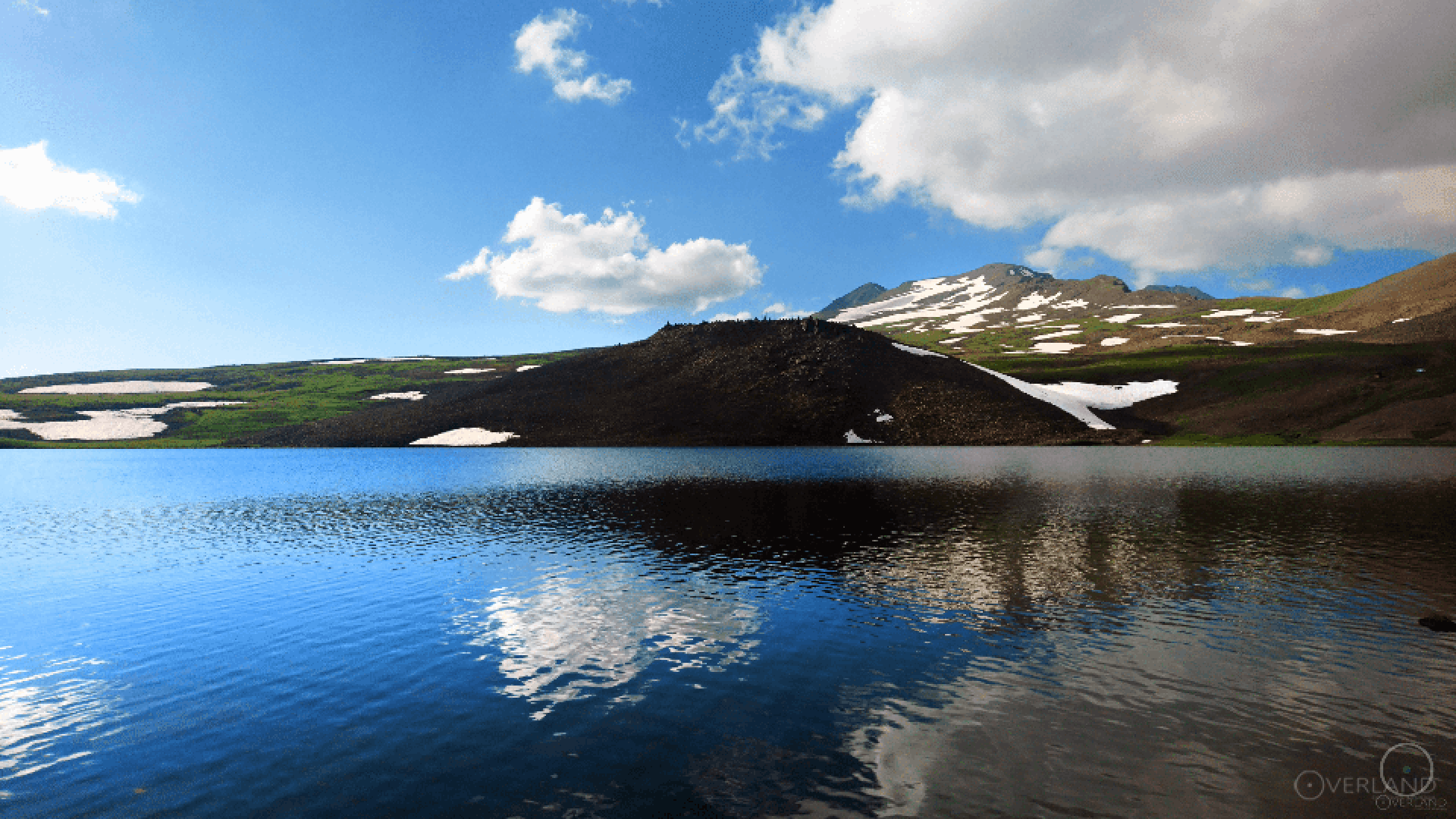
From the slopes of Aragats, many springs originate, which in their turn originate rivers. Most of the springs that originate in Aragats' crater have mineral richness, and each of them has its own composition and taste. In the lower craters, on the slopes of the mountain, picturesque lakes arose- Kari, Umroy, Amberd, and Lesing.
On the north-eastern crater of Aragats stands the ancient fortress of Amberd.
We can proudly say that Aragats is a scientific centre. The world's first cosmic ray research station, founded in 1942-43, is located by Kari lake. In addition, on the slope of Aragats, there is another scientific centre that has international importance- Byurakan Astrophysical Observatory.
Aragats had and has such an important meaning, that despite legends, many poems and songs are devoted to this mountain.